
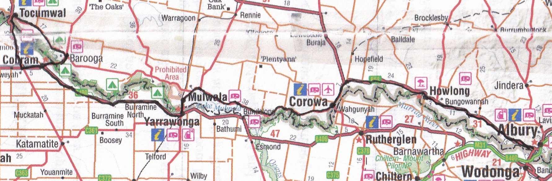
From Albury, I wended my way along the Riverina Highway, ending up in a pretty village by the name of Howlong, with a rather upmarket-looking golf resort.
It wasn’t late in the day but I was tired, partly from the stress of realising I’d forgotten to get petrol in Albury, and I was in the middle of nowhere with an empty tank. You know that relief you get when you see the service station sign in the distance and you know you’re safe again?
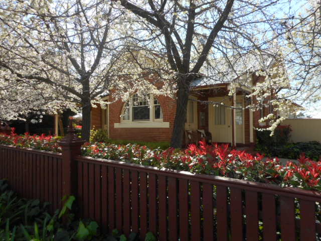
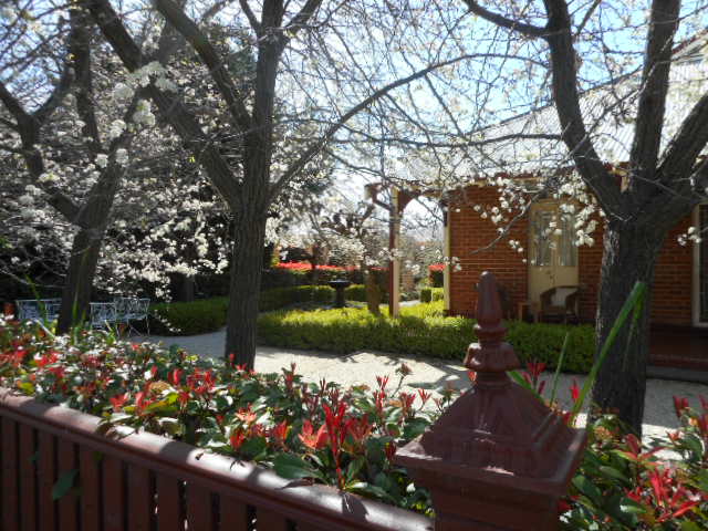
I checked the golf resort on the off chance there was a room and, lo and behold, my one night of luxury for the trip.
I loved this residence. It’s the old post office, now a bed-and-breakfast.
…
Sixteen kilometres along the highway is the turn-off to Corowa and the river. I must have been early; no-one was up.
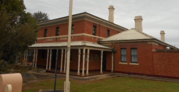
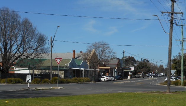
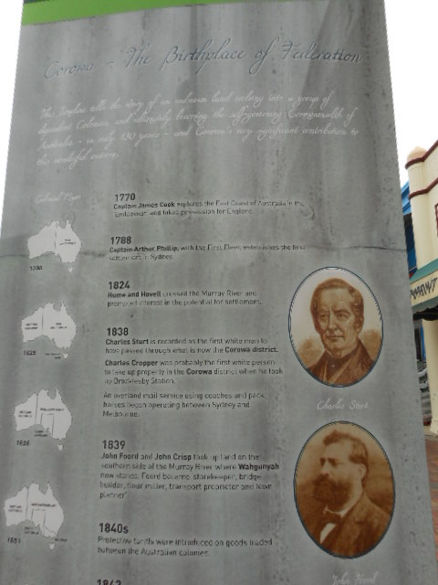
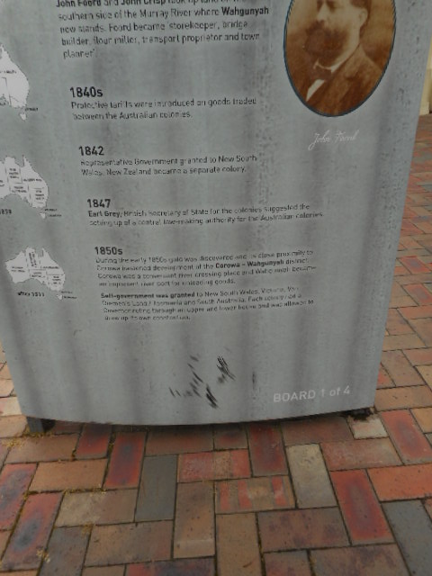
Corowa is a very interesting town, history-wise, of which I previously knew nothing. It was in this court house, in 1893, that a conference was held which accepted the motion that all future Federation conference delegates should be elected by the people, instead of being representatives of the various governments, and that they should draw up a constitution and submit it to the people for approval. This eventually led to the Federation of Australia in 1901.
In April, 1902, irrigation and navigation rights to the Murray were settled here, which culminated in the setting up of the River Murray Commission. In 1950, myxomatosis was introduced to the district, along with some other regions, that sharply reduced the scourge of the rabbit population.
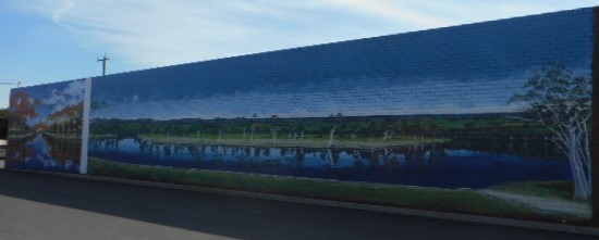
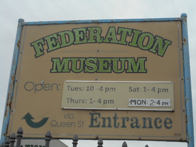
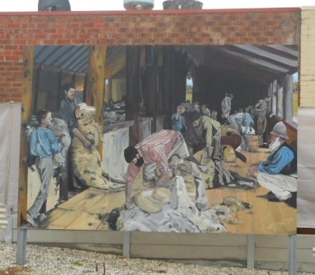
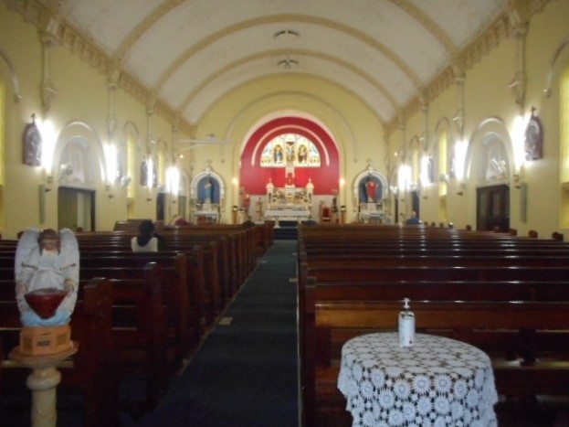
The Federation Museum on Queen Street has a display of material relating to all this and more, along with a collection of memorabilia of Corowa and the district. I would loved to have checked that out but it’s only open in the afternoons. The photo is of the famous Tom Roberts’ painting, Shearing the Rams, which he painted at Corowa from sketches he made in the shearing shed at the then Brockleby Station, on the banks of the Murray.
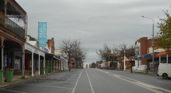
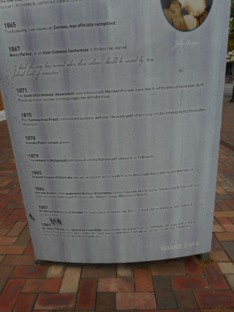
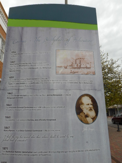
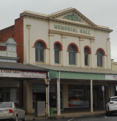
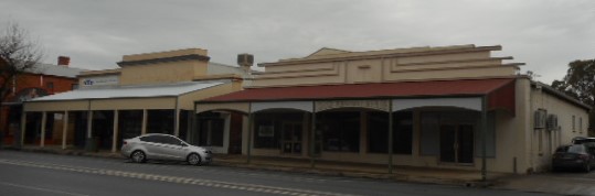
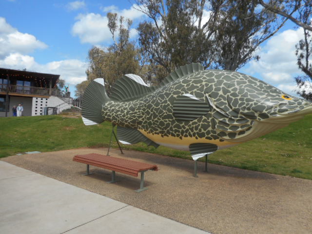
Corowa is a fairly well-to-do-looking town. Gold was discovered in nearby Beechworth in 1852. It became a river port, and the district supplied meat and grain to the goldfields, along with wheat and wool. Signs along the street give a timeline of the history.
Federation Building Precinct.
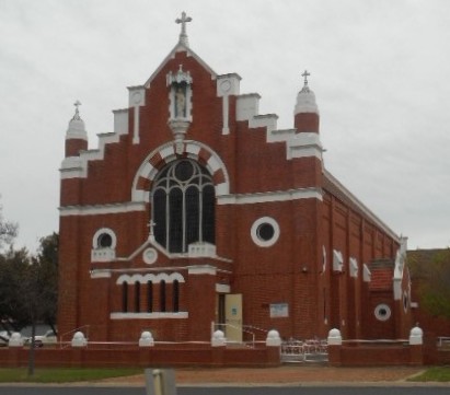
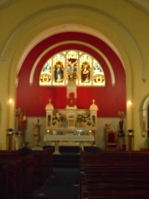
Love what they’ve done with the altar. I have the odd red feature wall in my own home.
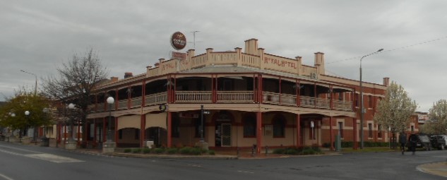
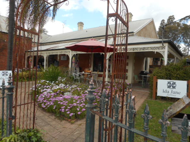
I continued on my journey, promising myself a return, maybe to stay in the gorgeous-looking Royal Hotel. I have to come back, anyway. I discovered there’s a whisky and chocolate factory I didn’t know about till too late.
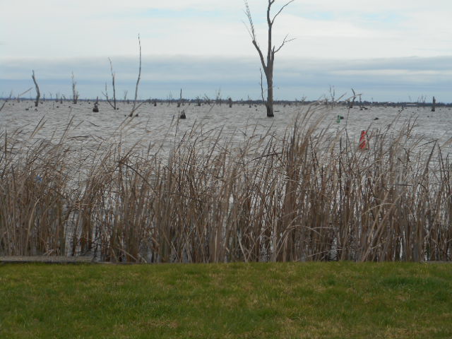
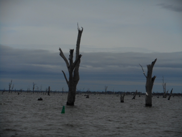
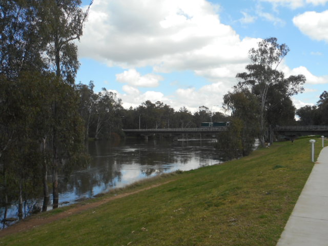
By this time I was on the Victorian side of the river. Not far along from Corowa is Lake Mulwala. The lake is man-made, created in 1939, when the Murray River was dammed as part of the Murray-Darling Irrigation Scheme. Prior to this, paddle steamers would transport merchandise along the river as far away as Albury. The river traffic petered out with the arrival of the railways in 1886.
Raising the water at Yarrawonga Weir allowed it to be channeled to irrigate large areas north and south of the river. It’s also a busy holiday spot for all water-based activites.
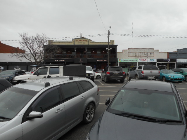
At the end of the lake is Yarrawonga. I landed there at lunchtime and struck peak-hour traffic. After fighting for a parking spot and taking a couple of photos, I left them all to it and escaped.
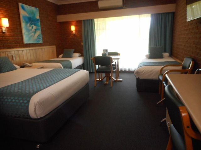
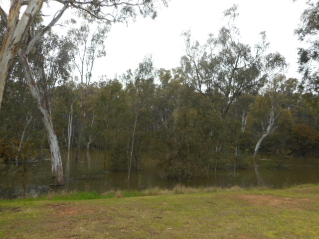
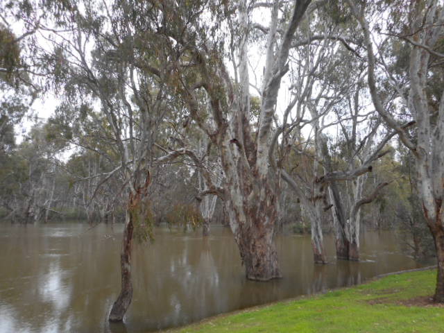
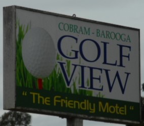
From Yarrawonga, I moved along to the twin cities of Cobram on the Victorian side of the river and Barooga on the New South Wales. I’d booked a room at the Golf View Motel in Barooga, and on arrival left the car in its spot and wandered for a while along the river.
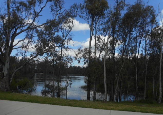
There’s a special feeling I get when at the Murray – others have said the same. It seems so ancient – maybe it’s that – or those beautiful Red River Gums.
I had intended to leave the next day, but after being bitten by a particularly nasty little black spider thingy with nasty black pincers, while sitting on the bank of the river, and feeling decidedly unwell afterwards (the area was numb for a couple of hours) I decided can extra day to see whether or not I was going to die would be a good idea.
By lunchtime, I was feeling a little less anxious, and spent a couple of hours in the afternoon wandering around the river banks at the town of Tocumwal, just 18 kilometres up the road from Barooga.
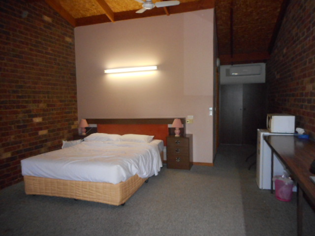
I would stay at Cobram-Barooga Gold View again. The man was very pleasant and helpful, the room was enormous, as they were in that era – strange spot-lighting, though, as they were also in that era, making the room quite shadowy – but still very comfortable.
In the morning, feeling normal again, I took the Goulburn Valley Highway, via Nagambie and Seymour, back to Melbourne.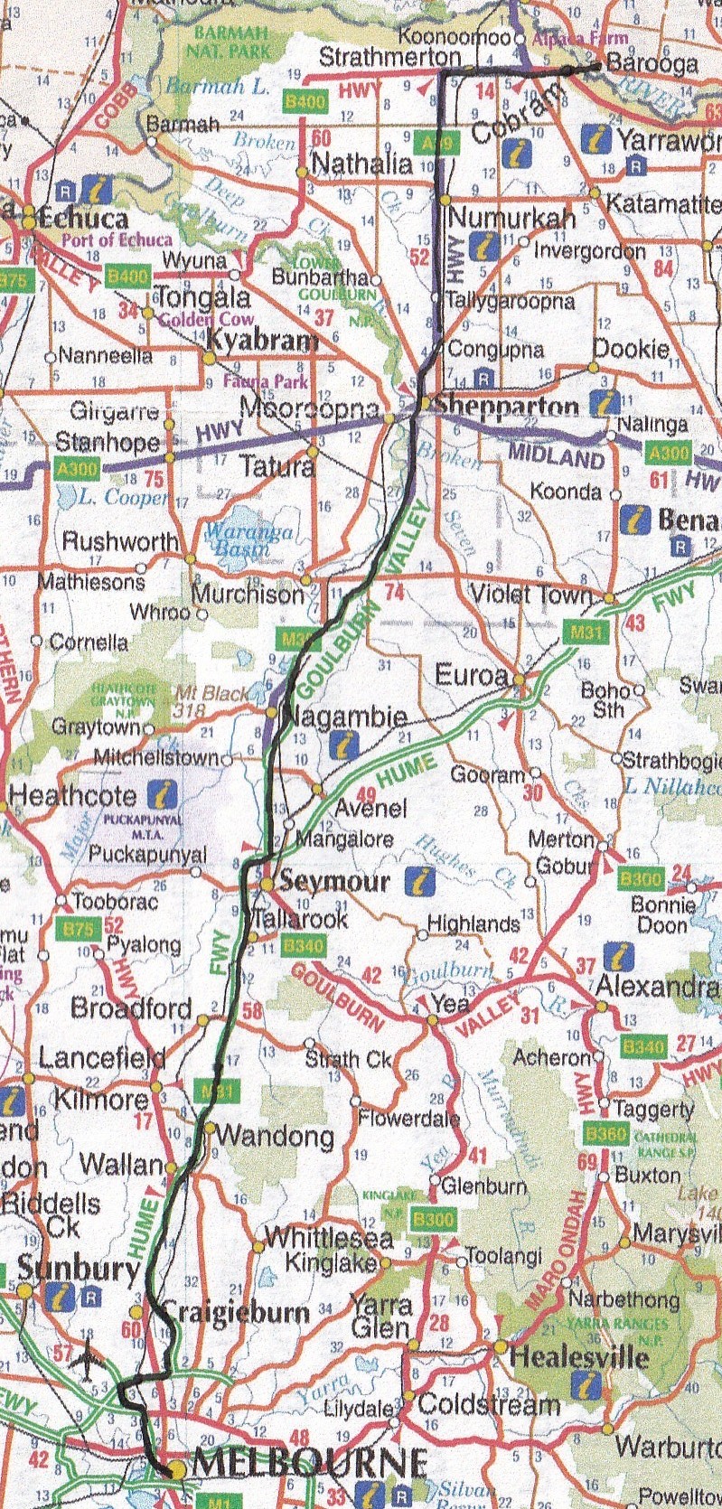
Highlights: the East Coast, obviously, for its beauty; I will re-investigate Moss Vale, though I would have to go up via the Hume – no way am I broaching Macquarie Pass again in my lifetime; Corowa and anywhere along the Murray; the historic villages around Goulburn sound nice; and Mallacoota in Victoria’s east, where forest and ocean meet.

Scary when an unknown bitey critter gets you. 😱 Glad it turned out well.
LikeLike
Thanks, Glenys. Me too.
LikeLiked by 1 person
Dear Coral, Thanks for reporting on another of your rambles around Australia. I know what I’ll get when I open your blog, a few words and somewhere, a nice spot, for a coffee and cake. I am tempted to ask how long is it to Howlong, but I suspect that’s been said before.
LikeLike
I have lots of coffee, Richard – pick and choose when I have cake. Otherwise I’d be ‘the side of a house’. Oh dear, how long is it to Howlong? Nope, your the first.
LikeLike
A very pleasant road trip Coral, discovering new places I wasn’t aware of.
LikeLike
Thanks so much, Marion. I’m enjoying yours, too, places I probably won’t ever get to see myself.
LikeLiked by 1 person
THis has been an enjoyable trip (well not the insect bite) and I was glad to come along via your blog. Not sure I’ll ever get to Australia.
LikeLike
Thanks, Darlene. So glad I can take you round Australia with me.
LikeLike
Thanks for sharing this fantastic area. I would love to visit there sometime. Anita
LikeLike
Thanks, Anita. I certainly hope you can make it some time.
LikeLike
Great places, wonderful pictures !
LikeLike